
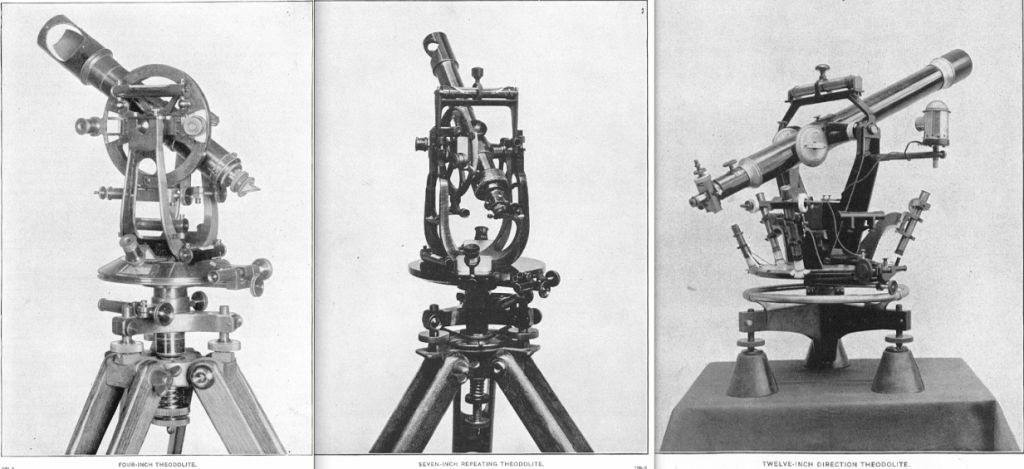
It's because the quartz watch hadn't been invented yet. Determining your position at sea was dependent on expensive nautical chronometers which were a bit finnicky and could break down. So people were still looking for new approaches to fix your position.
Nowadays it's irrelevant: Just use GPS or a related network. If that goes down everyone has a watch and sextants are low tech.
Sure but there are other options .. say we timed the transit of a star across the prime meridian at 10.00 pm, since the sidereal day is 23 hours, 56 minutes 4.0916 seconds the same star will be back on the meridian at 9:53:55.084 the following night .. suppose we were at sea and heading along the same degree of latitude.
When we took our corrected 10:00 pm shot we will know by the degree on the meridian how far east or west we have traveled .. this method does not need GMT or for that matter any fancy gear .. you do need a comprehensive knowledge of which star is which is about all.
Isn't that how sextants work?
And yes, that method does work, it used to be the standard way of fixing longtitude before GPS. It still depends on having an accurate timepiece though, which up until the invention of quartz watches was difficult and expensive.
That works only for static locations. For a ship travelling across longitude the zenith-to-zenith period would not be a sidereal day, but longer when traveling West and shorter when traveling East. One would need to know precise longitudinal speed or have a precise time reference to determine the difference.
(post is archived)